
Home / Products / Meteorology / WERA
WERA
Remote Ocean Sensing
Shore based Ocean Radar for ranges of more than 300 km.s
Modular system with flexibility to enable set-up in Compact or Array Type Antenna configurations.
Highlights of WERA
- Configurable for short or long ranges with fine or coarse resolution
- Small antenna systems reducing visual impact
- Highest temporal resolution (short integration time due to software beam forming)
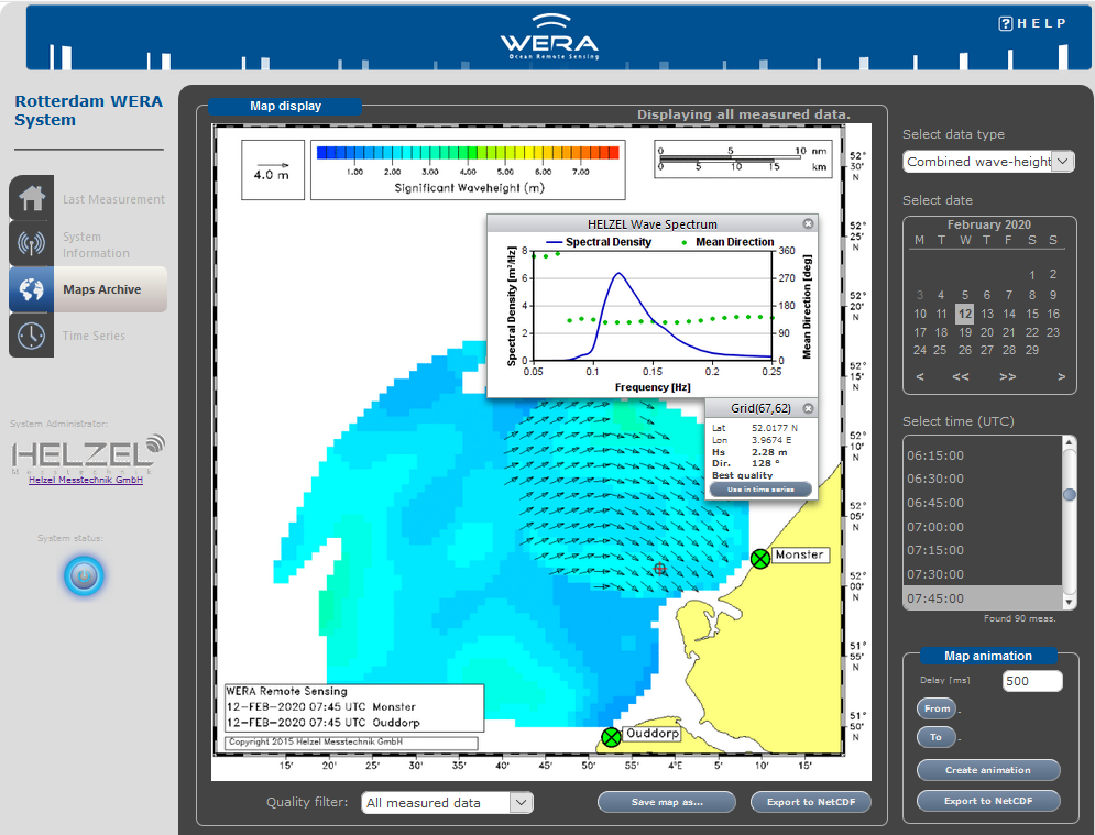
- Maps of surface current, waves and wind direction
- Prediction of current drift, supporting search and rescue operations
- Tsunami Detection feature with display of Tsunami-Probability
- Data quality control and plausibility check for each data pixel in real-time
- Open data interfaces for various applications
Unique Technical Features
- Unique software beam forming with self-calibration feature, no antenna calibration required
- Highest data availability based on reliable techniques and best quality
- Made in Germany, ISO 9001 certified, RED and FCC approved
- User friendly data interface with options for archiving and data export in various formats
- Real time quality control for each data cell
- 100% remote controlled with automatic system and antenna tests
- Frequency management and frequency band sharing features
The secret of our success is we are all working together.